‘Strongman rhetoric’ as Anutin declares French colonial maps invalid
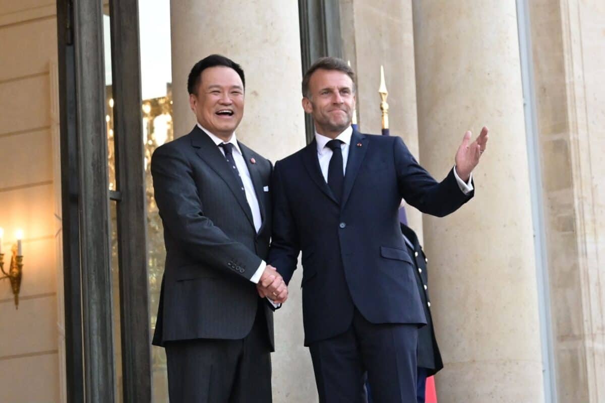 Thai Prime Minister Anutin Charnvirakul met with French President Emmanuel Macron in Paris, on May 26. Thai foreign ministry
#National
Thai Prime Minister Anutin Charnvirakul has declared that the French colonial-era maps used in border dealings with Cambodia are no longer considered valid by his government. He has just returned from an official visit to France.
In a May 27 interview with Thai media, he described how he had met with French President Emmanuel Macron, as well as senior officials at the UNESCO headquarters in Paris.
During the discussions, he explained what he called “international misunderstandings regarding Thailand’s borders” and addressed the latest tensions along the Thai-Cambodian border line.
He declared that the 1:200,000 scale map from the Franco-Siamese colonial era — which Cambodia uses to support its border claims — “no longer has value for the Thai administration”. He stated that Thailand demands that Cambodia use a 1:50,000 scale map which was unilaterally drawn by Thailand.
There was no immediate comment from the French government, which has previously offered to allow access to historic documents to support a solution to the current dispute.
Anutin added that Thailand follows its own established technical systems and existing bilateral conclusions, and that any proposals from external parties regarding French historical maps will have no influence over his government.
He claimed that the unilaterally drawn 1:50,000 map is highly accurate, but maintained that the Thai government remains open to transparent technical verification should there be any doubt between the two neighbours.
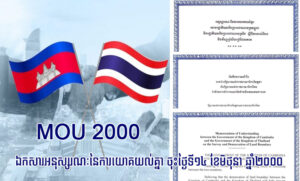
Cambodia utilises French colonial-era maps drawn at a 1:200,000 scale, which were created under the Franco-Siamese treaties and drawn by the Franco-Siamese Commission in 1904 and 1907. The maps played a major part in several cases which were contested in the International Court of Justice, which ruled in favour of Cambodia.
Thailand’s position demonstrates an increasing rejection of colonial-era map lines, complicating Cambodia’s efforts to rely on historical map documents in border debates.
Geopolitical analyst Kin Phea described Anutin’s declaration of non-recognition for the 1:200,000 map as “strongman” rhetoric and a tactic to distract from political crises, economic issues and power struggles within Thailand.
“Anutin cannot reject a map that is internationally recognised by treaties and conventions to which both countries are signatories. The 1:200,000 scale map is used internationally and was specifically used by the ICJ twice in the Preah Vihear Temple cases, where Cambodia won its lawsuits,” he said.
“If Thailand refuses to recognise this map, it would have to withdraw from the international community, ASEAN and UN membership, and become a rogue and pariah state standing alone, using only the law of the jungle,” he added.
-Phnom Penh Post-