Thailand’s own L7017 map places all Khmer temples on the Dangrek Mountains inside Cambodia, says border official
 Thailand’s own L7017 map places all Khmer temples on the Dangrek Mountains inside Cambodia, says border official
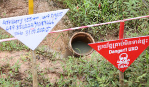
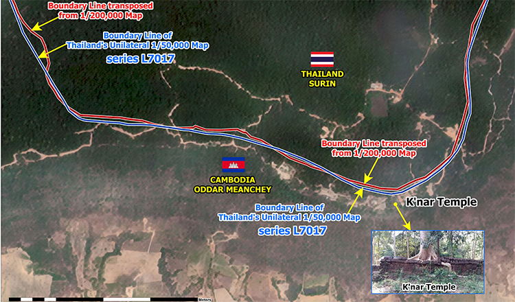
Thailand’s own unilaterally produced L7017 map, despite having no legal validity, confirms that Khnar Temple, Tamone Thom Temple and several other ancient Khmer temples on the Dangrek Mountains that are illegally occupied along the Cambodia–Thailand border are located within Cambodian territory, in addition to the internationally recognised 1:200,000-scale map, according to the State Secretariat of Border Affairs (SSBA).
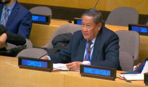
Speaking in an interview on TVK, Ith Sotha, Permanent Secretary of State at the SSBA, said the map—officially known as the 1:50,000-scale Series L7017—was produced unilaterally by Thailand and has been used to support its border claims, yet it also places the disputed temples inside Cambodia.
“I would also like to further clarify that the L7017 map, which Thailand produced unilaterally and has used unlawfully, also shows that Khnar Temple, Tamone Thom Temple, and several other temples along the border are located within Cambodian territory,” he said.
The official stressed that the Cambodia–Thailand boundary is an internationally established border that was delimited in the early 20th century through treaties, conventions, maps, boundary records and the installation of 73 boundary markers by the Franco-Siamese Boundary Delimitation Commission.
He said the official 1:200,000-scale map produced by the Commission clearly places Khnar Temple within Cambodian sovereignty.
Using satellite imagery during the interview, Sotha compared the boundary line transferred from the internationally recognised 1:200,000-scale map with the boundary line shown on Thailand’s own 1:50,000-scale map.
Sotha explained that the Cambodian boundary, shown in red, and Thailand’s boundary line, shown in blue, both place Khnar Temple on the Cambodian side of the border.
The official also referred to Boundary Marker No. 20, explaining that although the original French-era marker has been displaced and its present location remains unknown, Cambodia identified its original position during the first phase of a joint search conducted by both countries.
According to Sotha, Cambodia’s identified location corresponds with the boundary line transferred from the official 1:200,000-scale map and is situated very close to the boundary depicted on Thailand’s own map.
-Khmer Times-