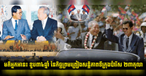
Why Was It Not Called the “Gulf of Khmer”? History, Power and the Politics of Names
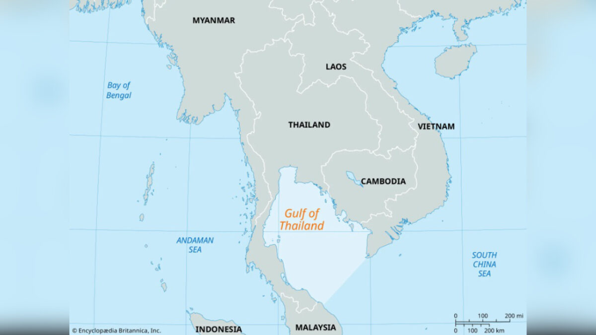 A map of the region, with the Gulf of Thailand in the centre. Britanica
#opinion
The question is both simple and profound: if the Khmer Empire was once the dominant civilisation in mainland Southeast Asia, why is the body of water along Cambodia’s coast not called the “Gulf of Khmer”? Why do we instead know it today as the Gulf of Thailand?
To answer this, we must look beyond modern assumptions and examine how geography, power and history interact over time.
At its height between the 9th and 15th centuries, the Khmer Empire — centred in Angkor — was a remarkable land-based civilisation. Its strength lay not in naval dominance, but in advanced irrigation systems, agricultural productivity and monumental architecture. Unlike maritime empires such as Srivijaya, which thrived on sea trade and controlled key shipping routes, the Khmer Empire did not prioritise the naming or control of large bodies of water as part of its identity.
The influence of the Khmer Srivijaya empires spread in different ways. Srivijaya projected its power across maritime Southeast Asia, shaping trade networks and religious learning throughout the Indonesian archipelago and the Malay Peninsula. The Khmer Empire exerted its influence across mainland Southeast Asia, contributing significantly to the cultural and political development of neighbouring regions, including early Thai states such as the Sukhothai and Ayutthaya kingdoms.
Equally important is the fact that, in the ancient world, seas and gulfs were rarely given fixed, internationally recognised names. The kind of standardised geographic naming we are familiar with today did not emerge until much later, particularly during the age of European exploration and mapping.
By the time modern cartography began to take shape, the political landscape of the region had already changed. Following the gradual decline of Angkor in the 15th century, new regional powers rose, most notably the Ayutthaya Kingdom. These emerging states exercised greater influence over coastal and maritime zones, which in turn shaped how external observers identified and labelled the region.
During the colonial period, especially under French Indochina, European mapmakers formalised many of the names still in use today. At that time, the body of water was widely referred to as the “Gulf of Siam”, reflecting the prominence of Siam (modern Thailand) in regional and international affairs. It was only later, in the 20th century, that the name evolved into the “Gulf of Thailand”.
Thus, the absence of the name “Gulf of Khmer” is not evidence of historical absence, but rather a reflection of timing. Names on maps often follow the most recent centres of political and economic power, not necessarily the deepest layers of cultural or civilisational influence.
The legacy of the Khmer Empire remains deeply embedded across mainland Southeast Asia. Its art, architecture, religion and cultural traditions helped shape the development of neighbouring societies, including those that would later rise to prominence.
Understanding this distinction allows us to move beyond surface-level interpretations. The map may say “Gulf of Thailand, but history tells a far richer and more interconnected story — one in which the Khmer civilisation played a foundational role.
Tesh Chanthorn is a Cambodian citizen who longs for peace. The views and opinions expressed are his own.
-Phnom Penh Post-
———————